Monday thru Saturday - 9am to 5pm
Sunday - 9am to 3pm
1532 Bergen Pkwy
Evergreen, CO 80439
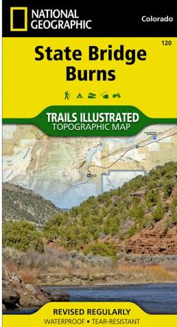
Topo Map #120 - State Bridge/Burns
For FASTEST PROCESSING, order by Noon MT
Store pickup available
Outdoor enthusiasts seeking to explore the rugged topography of northwestern Colorado will marvel at National Geographic’s Trails Illustrated map of State Bridge and Burns. Created in cooperation with the U.S. Forest Service, Bureau of Land Management and others, this expertly researched map delivers unparalleled detail of the area. Coverage includes White River National Forest, Derby and Congor Mesas, Bull Gulch and Castle Peak Wilderness Study Areas, Radium State Wildlife Area and the Colorado River.
Explore the area by following mapped hiking and motorized trails, Forest Service roads and BLM routes into the backcountry. To aid in your navigation of the area, the map also includes contour lines, elevations, labeled peaks, summits and passes, water features, areas of wooded cover, selected waypoints and clear color-coded boundaries between different land management agencies. Some of the other recreation features pinpointed are campgrounds, picnic areas, trailheads, fishing holes and wildlife viewing areas. Additionally, wilderness regulations, survival tips, Leave No Trace guidelines and essential contact information is provided.
Every Trails Illustrated map is printed on "Backcountry Tough" waterproof, tear-resistant paper. A full UTM grid is printed on the map to aid with GPS navigation.
Other features found on this map include: White River National Forest.


